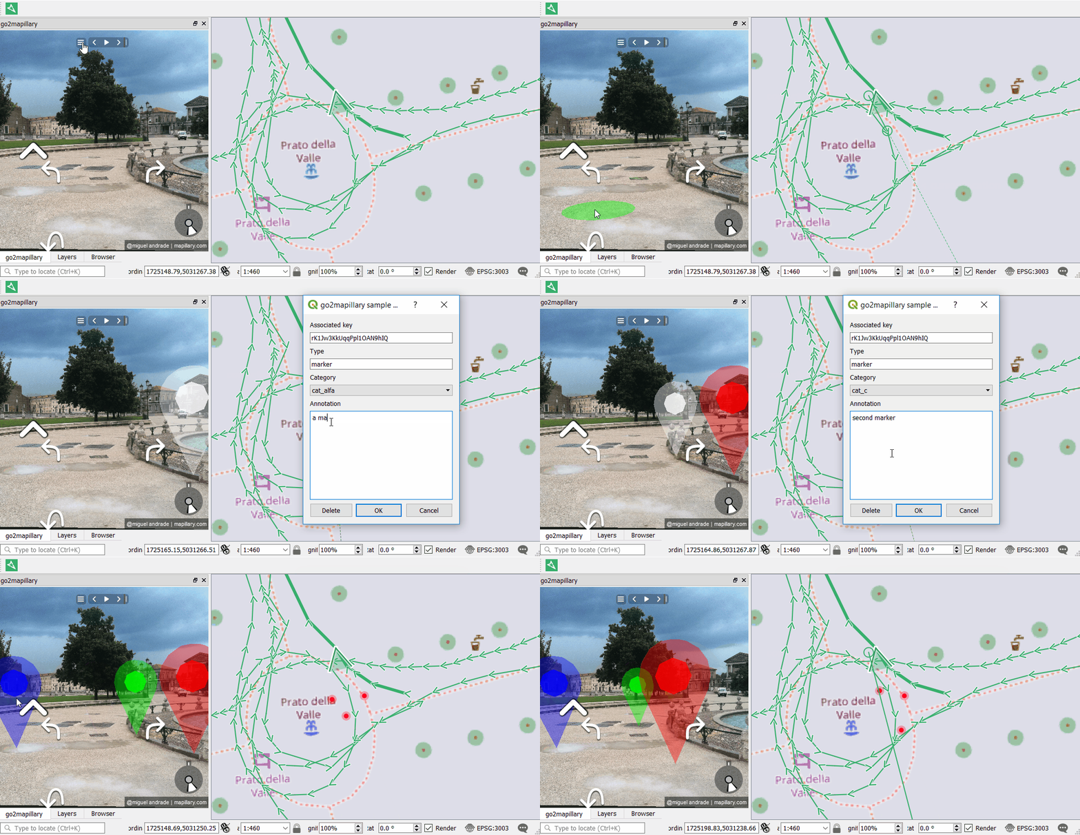
I recently released the new version of go2mapillary, a plugin for exploring and extracting information from Mapillarys streel level imagery from QGIS3.GitHub - enricofer/go2mapillary: a plugin for displaying and extracting information from Mapillary street level imagery with QGIS (3.0) or download the plugin from QGIS plugins repository: go2mapillary — QGIS Python Plugins Repository
4 Likes
I just want to say “THANK YOU!”. This is revolutionizing my work!
Regards,
Momo
1 Like
Hi there,
I got some trouble opening the plugin.
"Couldn’t load plugin ‘go2mapillary’ due to an error when calling its classFactory() method
ModuleNotFoundError: No module named ‘past’ "
Thanks in advance
flo
Hi flo, could you file the issue on github specifiying the platform, affected version and providing the full exception traceback: Issues · enricofer/go2mapillary · GitHub
Enrico.
Hi and congratulations on the good work,
Is there a way to access organisation data?
Thanks
No at the moment, The plugin does not deal with organization data.
I just a new for trying this plug in and have error, is plug in still maintain?
Ribar
July 17, 2024, 11:09am
8
Enrico,
Go2mapillary 2.3 is the last qgis version that no longer works.
1 Like
