Mapillary and HERE are excited to announce CompleteTheMap Europe, a collaborative effort to enhance street-level imagery coverage across major European cities. Join the challenge by June 14th and capture your city through August 15th for a chance to win a GoPro MAX camera, Amazon eGift Cards, and Mapillary swag!
Interested participants can join by filling out this application form. Please note that CompleteTheMap Europe is only available in selected cities at this time:
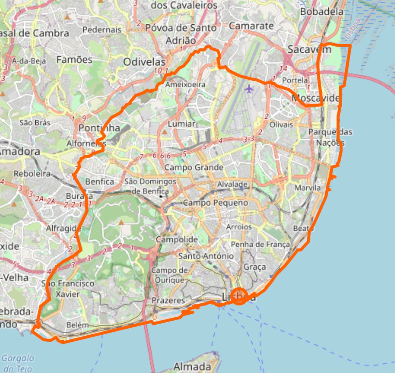
Is there a map which contains the borders of the cities what we have to drive/walk/etc? A lot of cities are having suburbs which are old villages but are nowadays added to the cities.
What admin level are we talking for these ‘cities’ more specifically Lisbon.
Municipality of Lisbon or District of Lisbon ? Would be nice to have an overview of shape boundaries for the contest to make it clear
thanks @asturksever … tha t is a lot to run in a month
made some quick analysis from osm data … to plan for the win of the go-pro , but that is going to be hard …
=== Lisbon Street Network Analysis ===
Results per network type:
Network Type: drive
Total length: 1829.54 km
Number of street segments: 20634
Number of nodes: 10133
Network Type: walk
Total length: 5205.23 km
Number of street segments: 118124
Number of nodes: 40363
Network Type: bike
Total length: 3000.47 km
Number of street segments: 44821
Number of nodes: 20789
Thanks, everyone, for the strong second week as part of the CompleteTheMap Europe challenge. I’d like to share the UKM stats as of June 30th, 2025. The challenge has helped us acquire 1916 fresh UKMs for improving maps, with a total of 171,258 imagery!
Oh nice ! I had no idea how much I had been mapping since 15 June. It’s been horribly hot in Brussels this week so a bit less mapping recently but I’ll start again once the temperature drops below 30°C.
Nice table. However, an interesting metric that you could add would be images per kilometer. For example, the current leader has just ≈ 64.256 ipkm (or one image every 15.563 meters), which considering all things is very sparse for an urban environment. Imho ipkm should be a leveling factor among participants.
That’s one 360° image every 2 seconds while cycling at 20km/h. I could shoot videos and get many more pics of poor quality but they wouldn’t add much value.