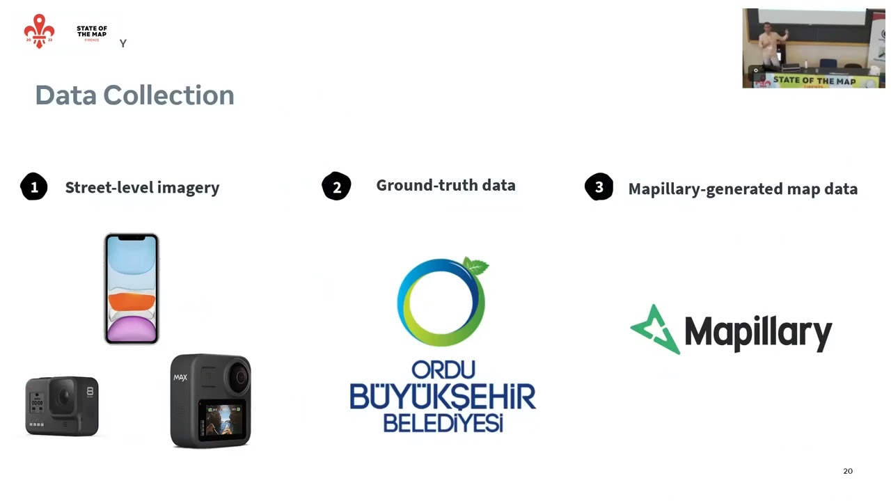
@asturksever I just watched your presentation, A review of Mapillary-generated map data and how accuracy compares across devices.
Do you know if more recent iPhone Pro models with dual frequency GPS have resulted in a big upgrade in accuracy over the iPhone 11 you used back then?
Also, are storage concerns the only reason that captures in the iPhone app are so sparse? Couldn’t we have a toggle in the app so we can switch to higher density captures if we personally have plenty of available storage space on our iPhones?
In terms of capture on the iPhone app, in cities it is set to be one image very 3 meters - this is generally sufficient for computer vision algorithms as well as humans doing mapping as it provides sufficient overlap between frames and logical browsing. If you increase density significantly beyond that, you are also likely to face phone overheating, as phones aren’t necessarily made to take photos continuously over a long period of time. (There are other potential issues as well like storage which you mention, and also upload times). There is no setting for higher density, but you can capture in another app if you’d like and then upload via the Mapillary app or the desktop uploader. Could you share more about why you are looking for higher density?
It’s just that I’m starting to do more captures of new residential areas in places far from home, where I can’t spend much time on location but want to get the most value from my imagery: lane markings, road signs, business signage, and addresses on buildings or letterboxes. Too often, one image is taken from too far away to read an address, and the next image in the sequence is past it.
I’ve tried using various iPhone apps to take videos while capturing a GPX in the background, or to capture a timelapse where each picture is geotagged. But because smartphone GPS is 1Hz, I’ve never been able to get the location data perfectly lined up with media capture times (not sure if it’s an iOS limitation or just the Lapse It app I was using, but despite choosing an image capture interval of one second, I think the GPS location was detected every second of system time instead of at the moment a photo was taken). So Mapillary’s calculated object locations were always too inaccurate. Especially if there are previous captures in the same location, which results in a lot of duplicate map data on Mapillary. That’s why I recently decided to return to the official app instead. Hopefully one day I can afford a GoPro.
The NMEA stream from GPS devices has accuracy output included (VDOP, HDOP etc). GPX has the same so it will be possible to compare “how good” the fix is for various situations. That includes the effect of any nearby reflectors over all but wide open/flat terrain.
Probably not for iphone but various GPS devices also have what I guess is an interpolation and positional noise mode for “sitting still” vs “walking” vs “vehicle” situations. Kind of a smoothing things out thing that aligns with the probable maximum position change per unit time. Every day start for example I tell my device to poll at 5/sec and change to “vehicle” as the setting is not saved at power down.
AFAIK a larger accuracy increase comes from using more sats, or more than one constellation than “dual frequency”. My unit can also be programmed with what constellations are used, although the default is already correct for my captures.
Might be worth an investigate for the devices you use.