@westbam let me look into this and see what I can do. I will put the grids as close to the nominated lat/lons as possible, while ensuring there is no overlap.
@raito your grid is going to update to 50km^2. Apologies for the delay.
The original grids were generated using a tool that does not account for mercator projections leading to wild discrepancies in size. I have been updating all the zones manually to fix this but it has been a time consuming process.
I will focus on fixing the remaining grids so that you have a proper idea of the grid in which you can contribute images.
I can see it @semigradsky. Can you reload the page?
1 Like
1 Like
Has the grid been updated or should you wait? until I see an update!
The amount of 792 km is correct ?!


@westbam These are the changes I made yesterday. The crosses mark the two centre lat/lons nominated. You can see the south grid has been centred around the south centre exactly. I moved the grid north for the north centre however due to the overlap that would occur if the grid was placed around the north centre.
Just so that we’re clear on the changes you would like, can you draw where you would like the two centre points on this map. I will then make the changes accordingly.
Thanks!
For the competition are not interested in forest trails in the north, this is not good for learning AI. After conducting a blitz poll in the group, we ask you to lower both zones in 2 rows. We understand that the zones should not overlap, but they should maximally cover the territory. If the lattice is lowered by 2 rows, then they will occupy the primary position as at the start.
@approksimator - knows about the problem, does not mind
1 Like
Ok thanks for confirming. I have moved the grids south ~2 zones. Please allow a few hours for the changes to kick in.
2 Likes
Thanks Eduardo for setting up Augsburg. Had i known that the grid is so small, i hadn’t placed the coordinates at town hall in city centre (which has good coverage already) but literally any other direction ![]()
No chance of winning now. But no complaining, next challenge comes up in a few months ![]()
@msdess feel free to suggest a new lat/lan and I can adjust the grid. All grids will be 50km^2 and count coverage from Aug 1st - 31st.
awesome! please adjust the whole grid to the east for the length/width of about 2 squares.

@westbam. Not a bug. Total km reflects the km of roads and paths we have calculated in that area based upon the underlying OSM data.
Every change in the grid location will change the km stat.
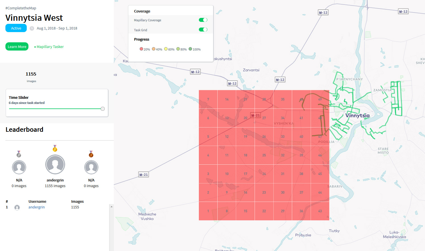
Hello. I have a little problem too with the grid in Vinnytsia. I was added a grid, centre point at coordinate 49.2344961, 28.4686964 and a few people alredy mapped sufficient number of streets. Then someone add a new grid, more to southwest, and first grid is completely gone.
1 Like
If the track has shifted from the road, it needs to be adjusted so that the system correctly calculates UKM?

Vinnytsia now has Vinnytsia East and Vinnytsia West. The grids have been regenerated to match 50 km^2 and should appear on the leaderboard in the next few hours.
I am not sure I understand your question. Every image will be matched to a road and UKM updated accordingly every 12 hours.
In the UKM tell all the photos made in Mapillary, or only those of August?
It’s that I’m taking photos and 20 kilometers ago and not counting any kilometers. How I count all is unfair. There are cities that it is technically impossible to win.
The green dot (path) passes not along the road, but slightly to the side, how will the system calculate it, like ukm or only a photo?

RE: Scoring
I think that this challenge is a great idea and will stimulate a lot of good and new content for Mapillary (and by extension, OSM and other applications). However, as others have mentioned before, there are some issues with the scoring system that have been quite discouraging for people like me who are trying to participate.
Some suggestions to consider:
-
Nerf the participants bonus - the idea to encourage more people to participate is a good one. The more the merrier! However, multiplying the entire score by two seems a bit much. It is particularly difficult in remote areas or places where Mapillary/mapping is less popular.
-
Have a ‘one user, one person’ rule - it seems that there at least a few ‘users’ on Mapillary that combine multiple people’s activities. This seems inherently unfair.
-
Introduce quality of data scoring - I know that this is particularly difficult to implement and has been mentioned in Mapillary blog posts before. It would be great if this could be done. This is more than just the quality of images - it should also take into account the frequency of images and the general coverage of the route.
-
Reduce the bonus for UKM - mapping new areas is very important. However, covering areas that have been badly or incompletely mapped (e.g. only one side of the road) is just as important in my opinion. The scoring should take this into account somehow.
-
Separate walking, cycling and driving - there is no way that someone walking or on a bike can cover as much ground as someone in a car. The scoring system favours distance covered and the number of images taken only, which is inherently biased towards vehicles that can move further and more quickly in less time. Addressing this is necessary, particularly if Mapillary wants coverage of places that cars cannot go (this to me is its main advantage, by the way).
As I said before, I’m not trying to have a whinge, but there are several issues that could and should be addressed. I’m sure others will have their own suggestions too ![]()
2 Likes